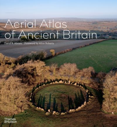
Aerial atlas of ancient Britain
£30.00
This breathtaking collection of aerial images reveals ancient monuments from all around the British Isles, as they have never been seen before: Neolithic enclosures, cairns and stone circles; Bronze Age villages, farmsteads, tombs and burial mounds; and Iron Age hillforts, all photographed in spectacular bird’s-eye-view detail. Photographs taken directly above the sites, often at dawn, allow uniquely informative views, showing not only how ancient monuments fit into the surrounding landscape, but also how they define or respond to the area’s natural character.
Available on backorder
Description
This breathtaking collection of aerial images reveals ancient monuments from all around the British Isles, as they have never been seen before: Neolithic enclosures, cairns and stone circles; Bronze Age villages, farmsteads, tombs and burial mounds; and Iron Age hillforts, all photographed in spectacular bird’s-eye-view detail. Photographs taken directly above the sites, often at dawn, allow uniquely informative views, showing not only how ancient monuments fit into the surrounding landscape, but also how they define or respond to the area’s natural character.


Reviews
There are no reviews yet.